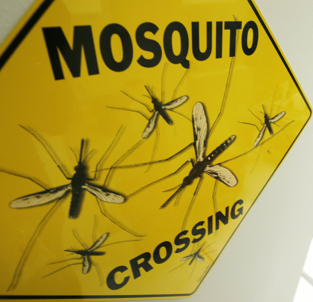
FILE – A sign at the Sanaria Inc. facility in Rockville, Maryland, where mosquitos are dissected for vaccine research. (Reuters)
Researchers at the Australian National University have found a better way to keep an eye on the spread of malaria and other parasitic diseases using satellite data and remote sensing.
Malaria, a preventable disease spread by mosquitoes, puts at risk up to 3.3 billion people worldwide. That included up to 97 countries in 2014, according to the World Health Organization.
Using satellites, scientists with a wide range of expertise can monitor the regions where mosquitoes are likely to thrive, typically in warm and moist areas where there are ponds and paddies for breeding and vegetation for adult mosquitoes to rest. Without optimal environmental conditions, neither mosquitoes nor malaria would exist.
The Life Cycle of Malaria
To better understand how malaria works, Jakob Rossner, Mobile Application Administrator at the University of Oxford’s Nuffield Department of Medicine, created a game that looks at the world from a mosquito’s point of view.
“People learn about complex, interconnecting systems best when they get to play with them, making active choices rather than just passively reading or watching information,” he said in an email.
Rossner expressed the hope that his free game might be used with traditional curriculum in schools or even to raise awareness where malaria is common.
The Nuffield Department of Medicine funded Rossner’s efforts and the game, which is based in part on the department’s malaria research.
“Sensors in satellites detect patterns of reflected electromagnetic radiation, using a process called remote sensing,” said Professor Archie Clements, Director of the Research School of Population Health at the Australian National University.
“These patterns,” he explained in an email interview, “can tell us about different aspects of the environment, such as rainfall, temperature and vegetation cover.”
Medium-resolution satellite data can be used to map communities where malaria transmission is likely to occur, said Clements, whereas high-resolution satellite data could help pinpoint specific malaria mosquito breeding sites.
“Information can be collected from the entire surface of the earth,” he added, “including areas that are inaccessible due to difficult terrain or geopolitical disturbance – attributes that characterize many areas of the world affected by malaria.”
Using satellites to collect data has some advantages over traditional methods of monitoring the environment.
The technology can bolster weak or ineffective surveillance systems in many of the countries affected by malaria and other parasitic diseases, said Clements.
“Countries are challenged by the need to count and geolocate malaria cases so that resources can be allocated to those most in need,” he explained.
Without good surveillance data, he said people who carry malaria parasites “are less likely to be identified, people who are at risk of infection are less likely to receive bed nets or have their houses sprayed with insecticide, and mosquito breeding sites near people’s houses are less likely to be detected and contained.”
While Clements conceded that satellite information is unlikely to replace traditional surveillance data, he said it could be an “additional tool to malaria-affected countries to help them use their resources more effectively.”
Initially tested in Bhutan, Vanuatu and the Solomon Islands, the project will add more countries and variables in the future to help predict the outbreak of other diseases, such as worms and hydatids, according to the Australian National University website.

3 responses to “Satellite Tracking, Gaming Take on Malaria”
Malaria is very bad disease.
Agreed and Americans do not know how best to fight it.
I the EPA had not been so insistent on the removal of pesticides they would have realized
and been thankful for its command over malaria. Suffering?